2023-01-16 XC Ski Mt Ashland Knoll with Wayne
Originally, we'd planned to do some alpine touring on Brown Mountain, where we'd spent several delightful days in the past, but Wayne had been experiencing vertigo lately, so we opted for a cross country off-trail adventure on Mount Ashland. The knoll likes east and a bit north of the peak and about 1000 feet below. I'd been exploring off trail on cross country skis a couple times in the past years and knew that Wayne had done extensive telemark explorations of the area, so I was more that psyched to get there with him. And, given the horrors of watching my father lose his balance in his decline with Parkinson's, I was so glad to choose the safer route.
We arrived at the parking area to the unwelcome presence of some "No parking" cones. Wayne briefly considered loading the cones into the back of this truck, but in the end we simply parked at the other end of the pullout, banking on the negligence of whatever agency had decided to place them. I broke trail much of the way up to the knoll with Wayne helping me find the route.
"So I'll just switchback up this slope," I said.
"Sure, but not too many switchbacks," he replied.
Wayne is more of a straight up the grade skiier, while I tend more toward the low angle zig zag. I love to kick turn, which brings me back to all those modern dance classes in college.
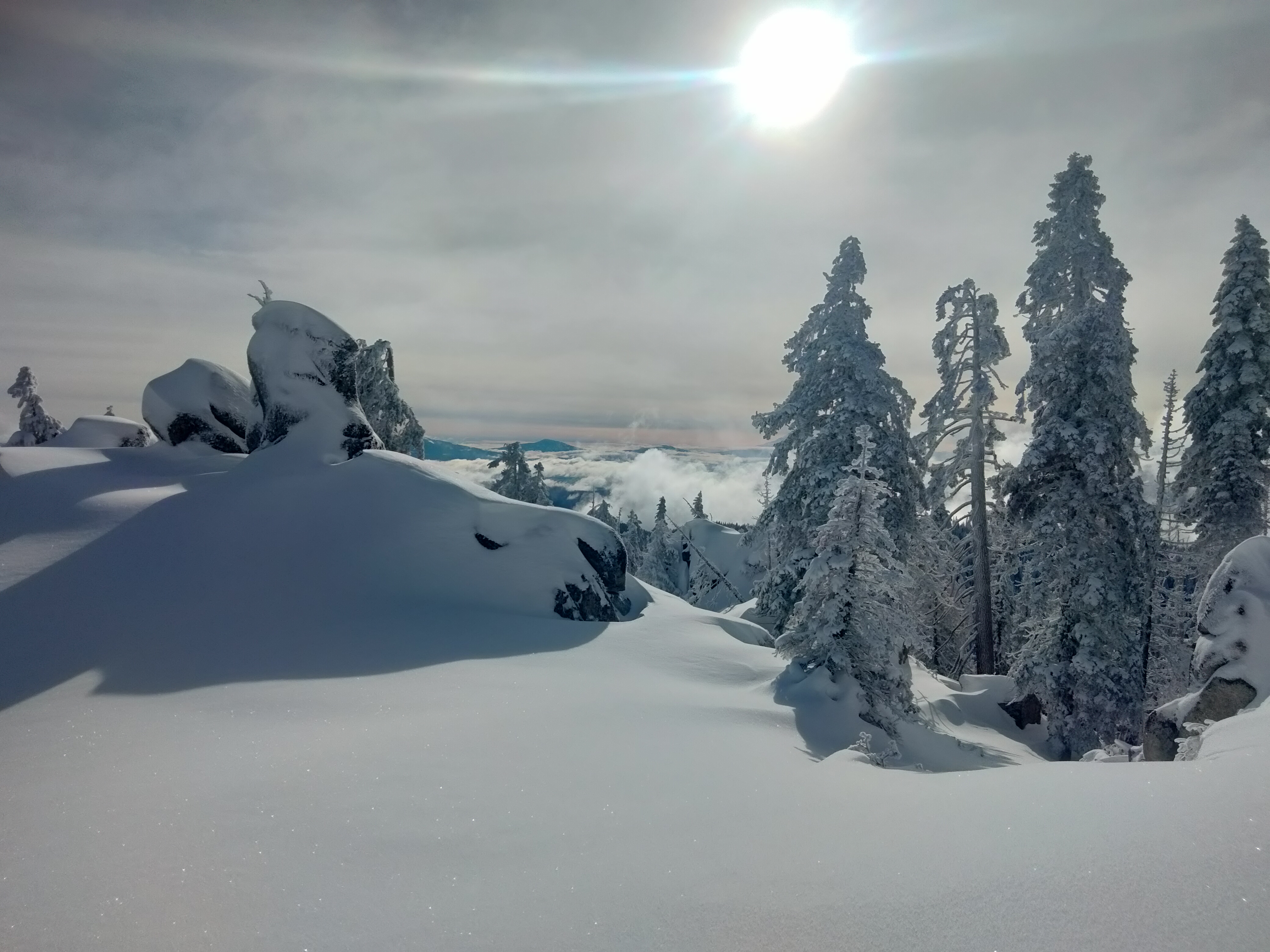
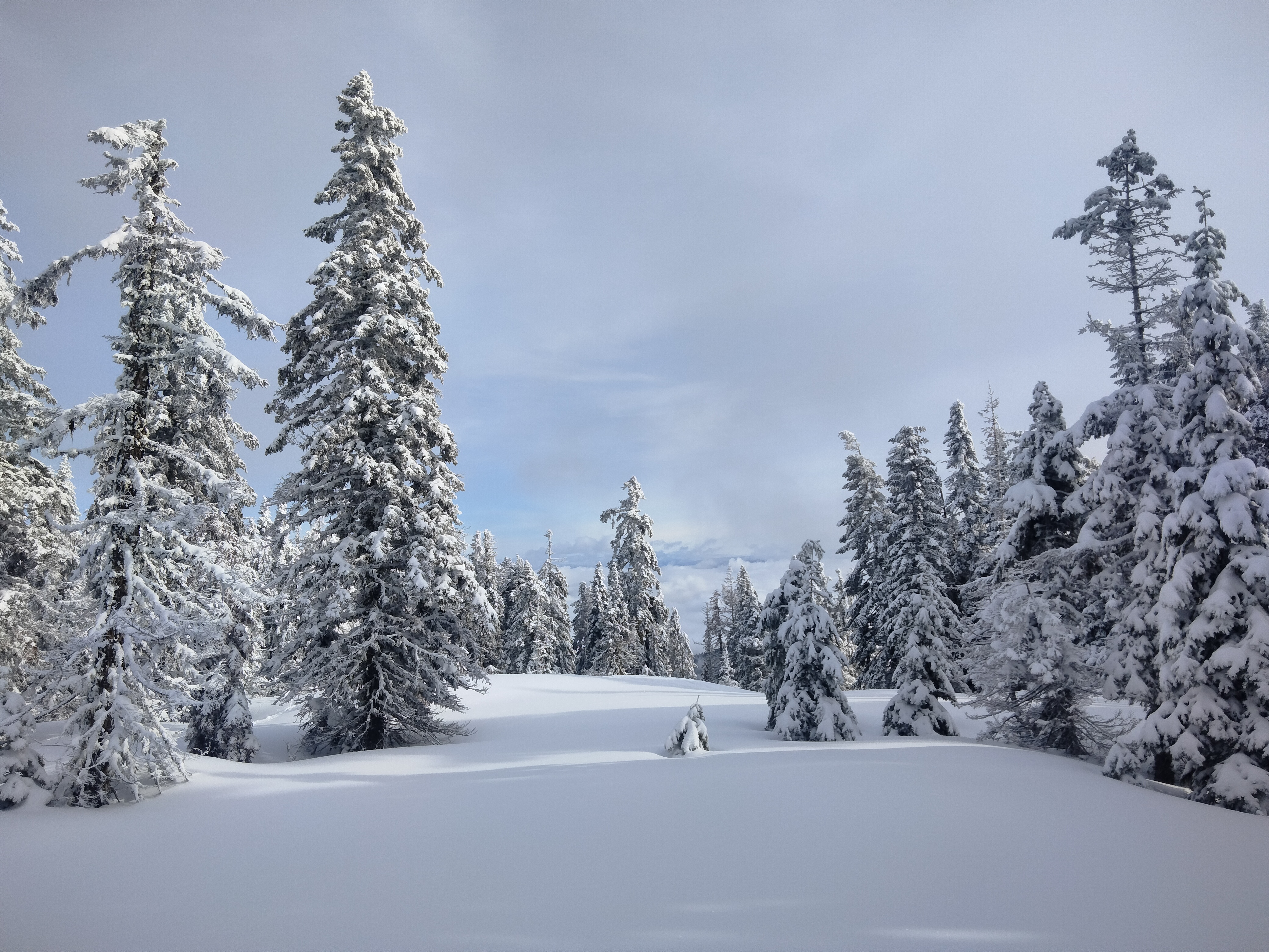
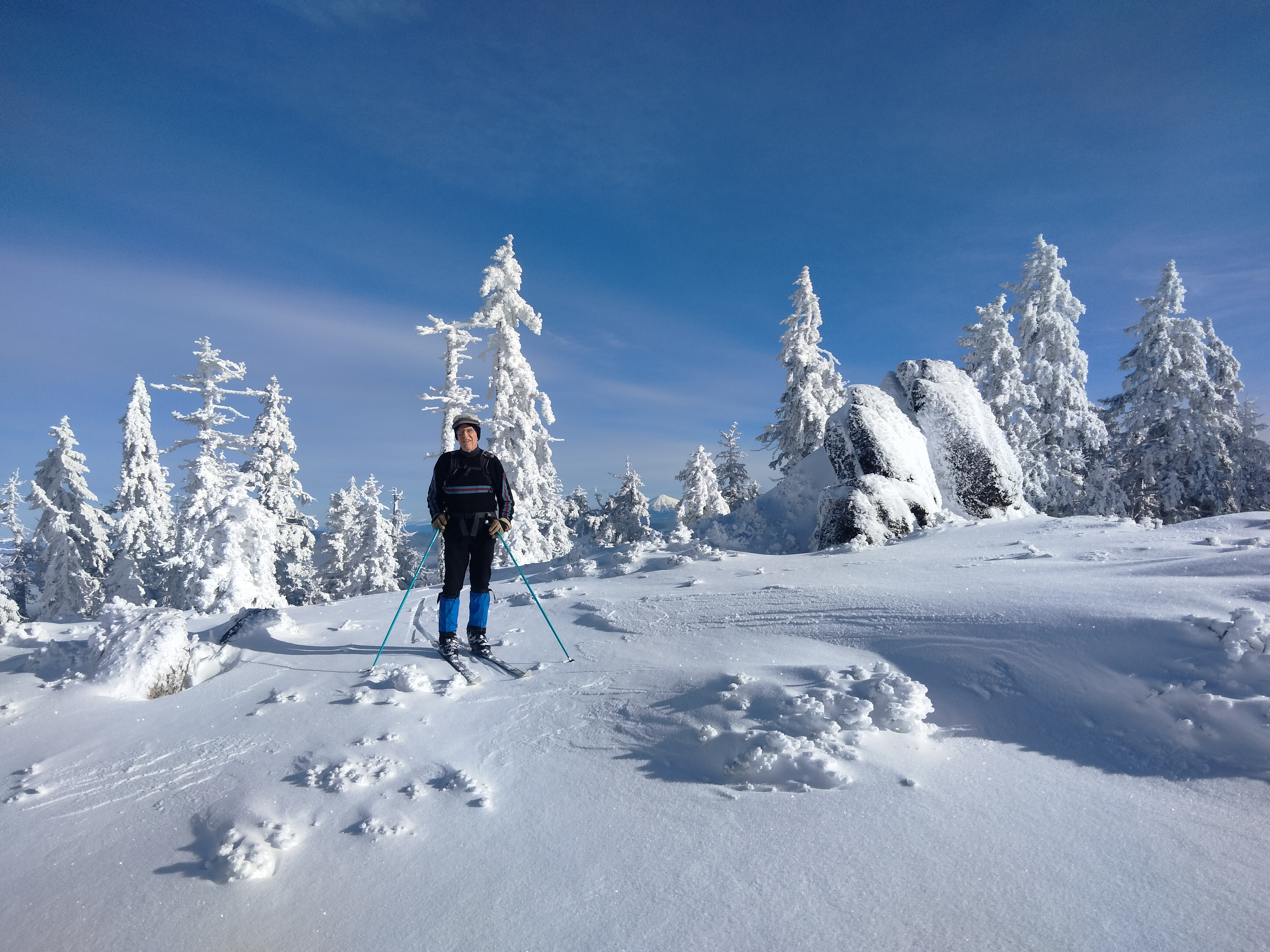
In the end, we are sometimes in eachother's tracks, sometimes not. The snow is surprisingly fluffy and we've left all the fog behind for a bluebird day and I pull up to the peak just behind Wayne. The surface of the peak is hard and windblown, the only bad snow of the day.
My first trip to the knoll this year, I set my satellite messenger on a rock to let Monica know my ETA. The location was so delightful I stayed quite some time taking photos and riding the slope, and on departure forgot to pick the messenger back up. Luckily I had the tracking feature on, so once I was home and discovered its absence I was able to find its location on my online map. The next weekend I slogged thru alternately slushy and hard crust to the GPS coordinates and retrieved it and then more slogging with rain coming down back to the car.
After those trips, spending happy long hours mapping routes and gazing at Forest Service maps and aerial photos, I'd thought of inviting Wayne to plan out a route with me on the maps, but I'm glad to have waited until we were out on the mountain to choose. Sure enough the first place he leads me is to the place I'd most wanted to go together which is the exact place I'd gotten so absorbed by the beauty and lost my messenger. Wayne told me of camping there with his daughter years ago. So lovely. Great view of the valley fog we left behind.